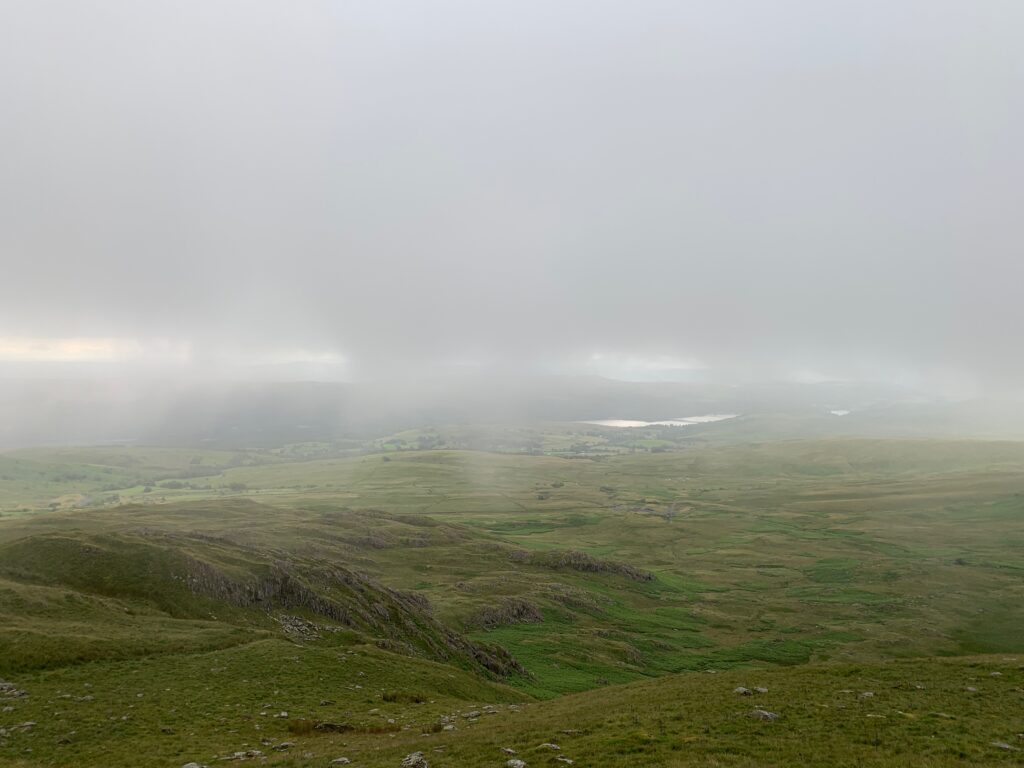
Lake District

Day 1 - Carlisle
Small streets with semi-detached house surround the ancient hear of this small border town, still intact and fascinating behind the window shops of the pedestrian center. Neither chic nor cosmopolitan, Carlisle is typical with a strong sense of belonging, and the little nut splendid cathedral that constitutes its spiritual heart.
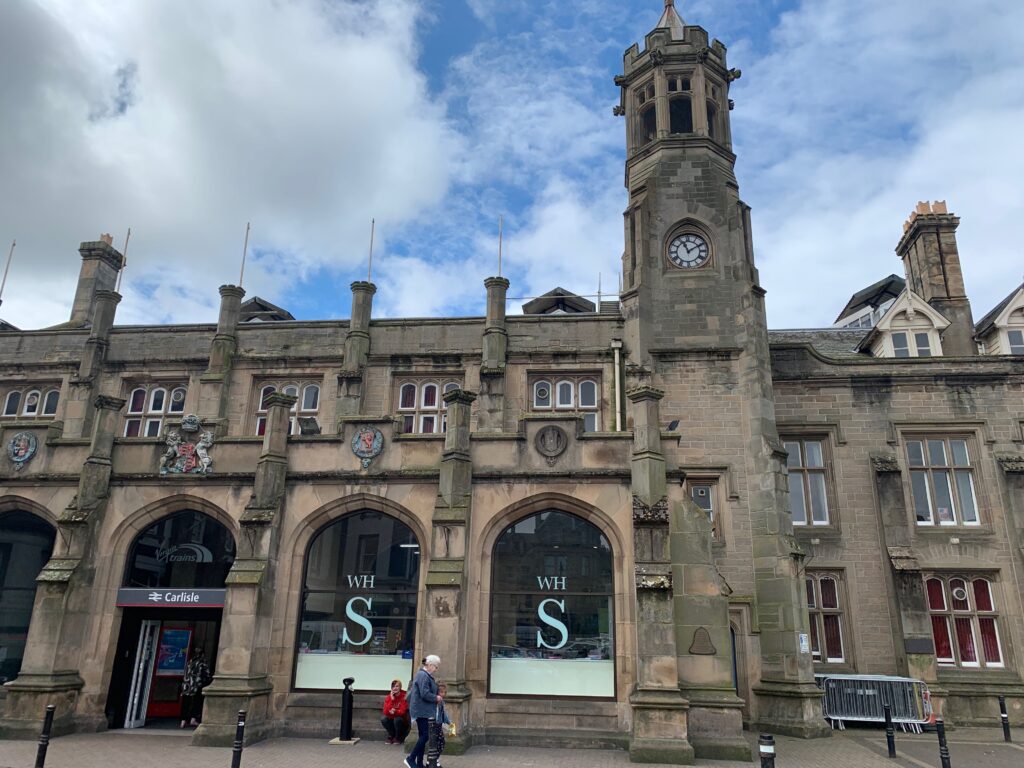
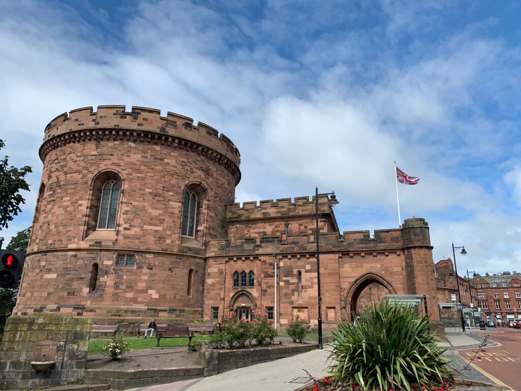
Start your tour of the town at the train station and admire its beautiful gothic Tudor facade, designed by Sir William Tite (architect of the Bank of England). Right behind you it’s impossible to miss the two oval towers (1810) that constitutes the entrance of the ancient citadel and that used to host a court and a jail. Pass between the towers and walk English St toward the mall. In the middle of the pedestrian street you will see the Carlisle cross (1682). The Tourist Office is here, hosted inside the Old Town Hall built in 1122, with a replica of the first victorian postal box of England, installed in Carlisle in 1853.
Make a right and enter the red and grey bricked cathedral.
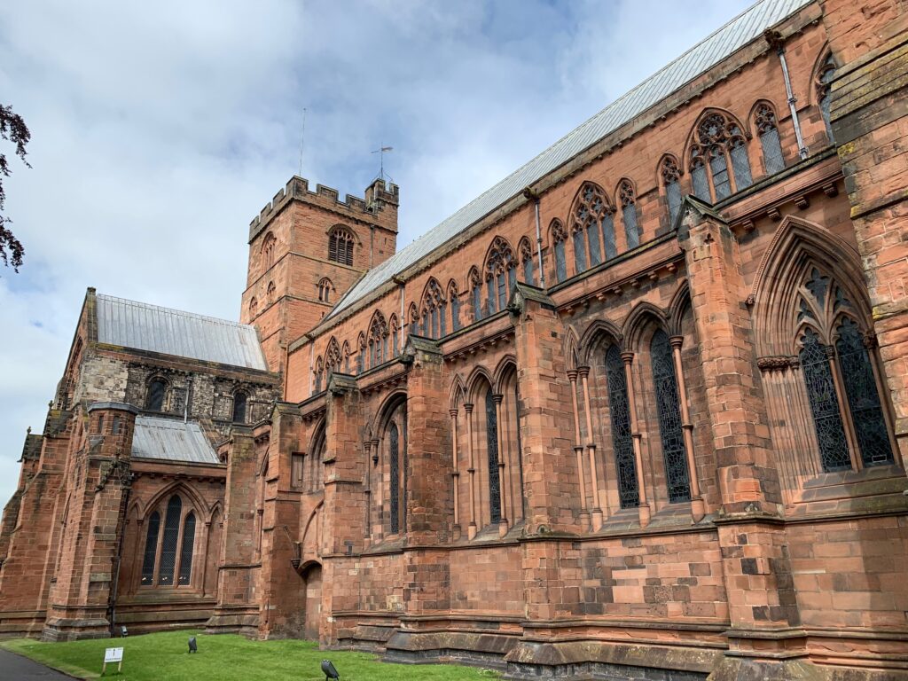
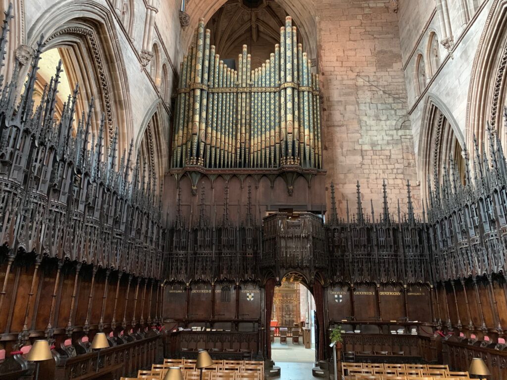
The inside of the cathedral, made more splendid by the light that comes from the painted glass windows from the XIV century, will leave you speechless. Under the starry ceiling of the cathedral there is an mazing wooden choir and an organ with 200 pipes. We inquired about the timings of the services, and we attended a beautiful 45 minutes “concert” of organ and choir with music by Hendel.
Clustered around the cathedral there are some nice XVII century buildings such as the Old Registry (1699), the Deanery, and the Fratry, a XIII century canteen where the monks used to eat.
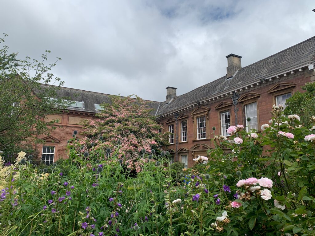
Turn left into Abbey St and pass the wrought iron gates of the Old Tullie House, a gallery and museum hosted in a 1689 palace. The lower floor hosts a roman exhibition, walking you through the roman conquer of Britannia and the building of Adrian’s Wall (that passes through Carlisle). On the upper floor the collections are dedicated to the social (the importance of the railway), archeological (Bonnie Prince Charlie and Robert the Bruce, the bandits at the scotch-british borders and the “curse” stone with the angry words of the bishop of Glasgow) and natural history (with the skeleton of a whale discovered on the western beach of Cumbria) of the region.
The walk of the Gallery ends in the actual Old House, with paintings from the early 1900 hanging over the walls.
A cafe just outside of the entrance can offer a nice refreshment.
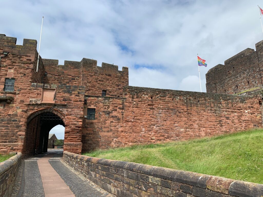
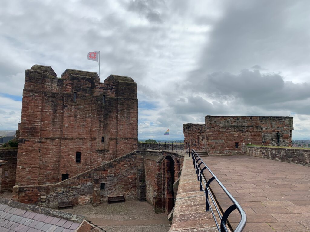
Enter the Castle thought the XII century portcullis and admire the damp jails that hosted Mary, queen of Scotland. Walk along the walls of the Castle and breath in the medieval air.
We spent a couple of nights at Warwick Hall Bed and Breakfast.
Day 2 - Buttermere and Cockermouth
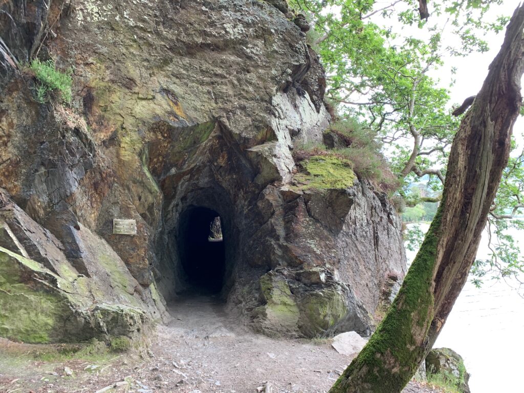
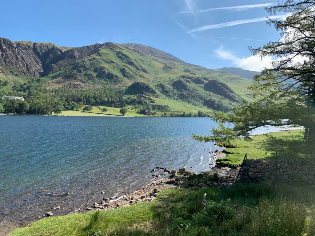
At 50 minutes by car from Carlisle, the little village of Bittermere is set in between peaks and valleys at the intersect of the lake Buttermere (literally “lake of the milk pastures”) and the wider Crummock Water. Even before reaching it, enjoy the view while driving on the solitary B5289 that will make you feel in a Harry Potter movie. Park along the main road, and look for the Syke House farm, from where departs a beautiful hike of 12 km that will take you around the Buttermere lake and up a hill to the Scale Force waterfall, the highest in Lake District.
Follow this small path (number 1 in the map) to the lakeshore path. Once at the lake turn left and follow the path all the way around the lakeshore: it will take you through the lakeside forest and through the Hassness tunnel util the end of the lake. Here the pathway rejoins the road (B5289), continue to follow it and turn right and follow the road to Gatesgarth Farm (number 4). Join the bridleway at the entrance to the farm and follow it across the valley bottom to Peggy’s Bridge. Cross the bridge and and turn right at the junction to join the Burtness Wood bridleway (number 5) that you will follow alongside the other shore of Buttermere lake until it splits at Horse Close just before the trees. Take the right branch by the lake and through the trees. There are lots of little bays which make ideal picnic stops in Burtness Woods. At the end of the lake, in case you are tired, turn right and cross the footbridge (number 7). The bridleway on the other side is followed back to Buttermere village.
But if you still have the energy ignore the footbridge and continue along the bridleway beside Buttermere Dubs and then alongside Crummock Water (number 9), the second and larger lake. The lake has quite a few little islands: you will encounter the two Home Island first, before seeing the green Scale Island.

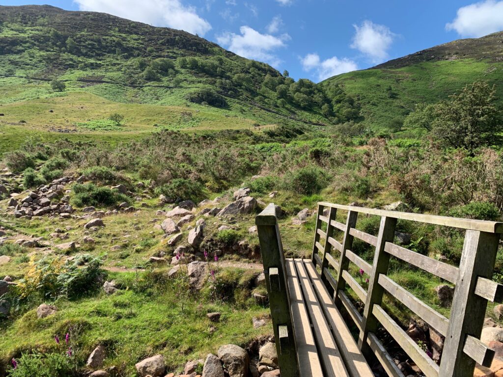
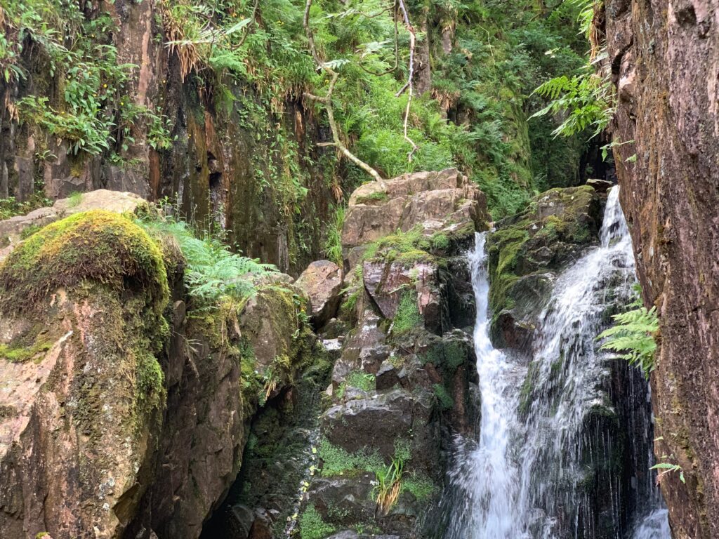
Opposite Scales Island the bridleway leaves Crummock Water and turns west to climb towards Scales Beck. It then turns southwest and climbs more steeply to the foot of Scales Force. There is a footbridge below the waterfall, admire the impressive cascade but it may be spoilt by people diving in it and bathing. Take a higher level path leading back down across the fell in an easterly direction to rejoin the bridleway beside Crummock Water. Once on the bridleway, retrace your steps as far as Scales Bridge. Turn left and cross the bridge following the bridleway on the other side back into Buttermere village to finish the walk.
Reward yourself with a homemade ice cream at the Syke House Farm before taking the car towards Cockermouth.
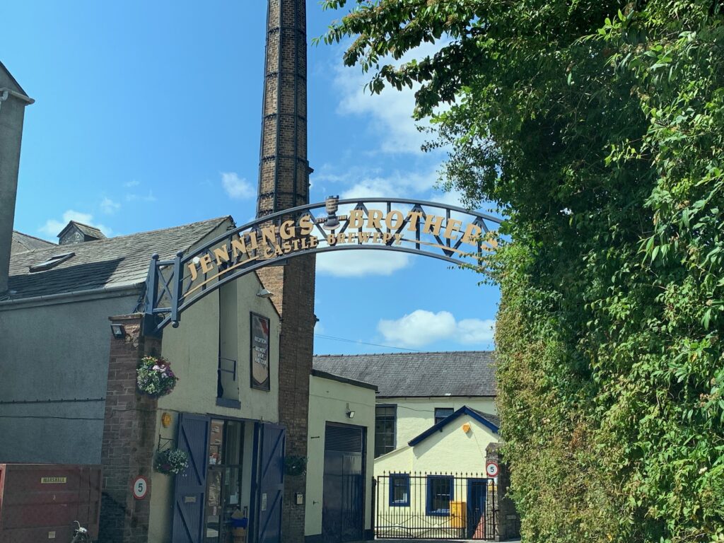
The little town of Cokermouth, at the confluence of the river Derwent and Cocker, is the birthplace of the poet William Wordsworth. After the long hike, book a tour of Jennings Brewery. The brewery was founded by John Jennings in 1828 in the near village of Lorton and it was such huge success that there was a need for a larger malting and building to house larger fermenting vessels. The nearest market town, Cockermouth, was the ideal base for the expansion. The Jennings brothers acquired several smaller breweries and public houses over the years. Unfortunately, today there is no longer any Jennings connection with the business, and in 2005 the independent brewery was acquired by Marston’s PLC.
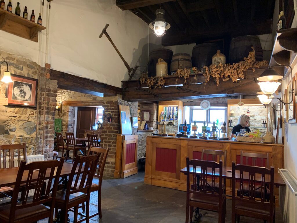
The 1-hour tour that starts in the bar walks you through the whole beer production. You will learn about the different qualities of malts that make the base of a good beer, you will taste the and understand how the toasted malt is responsible for the bitter taste of some beers. You will understand the technicality of “ale” versus “beer”, that lies in hops whose addition gives the nose to a beer. And finally you will witness the magic of yeast bubbling into the mix of malt and hops to transform it into beer. We strongly recommend taking the tour, it does not hurt that you will taste 3 of theirs half pints at the end.
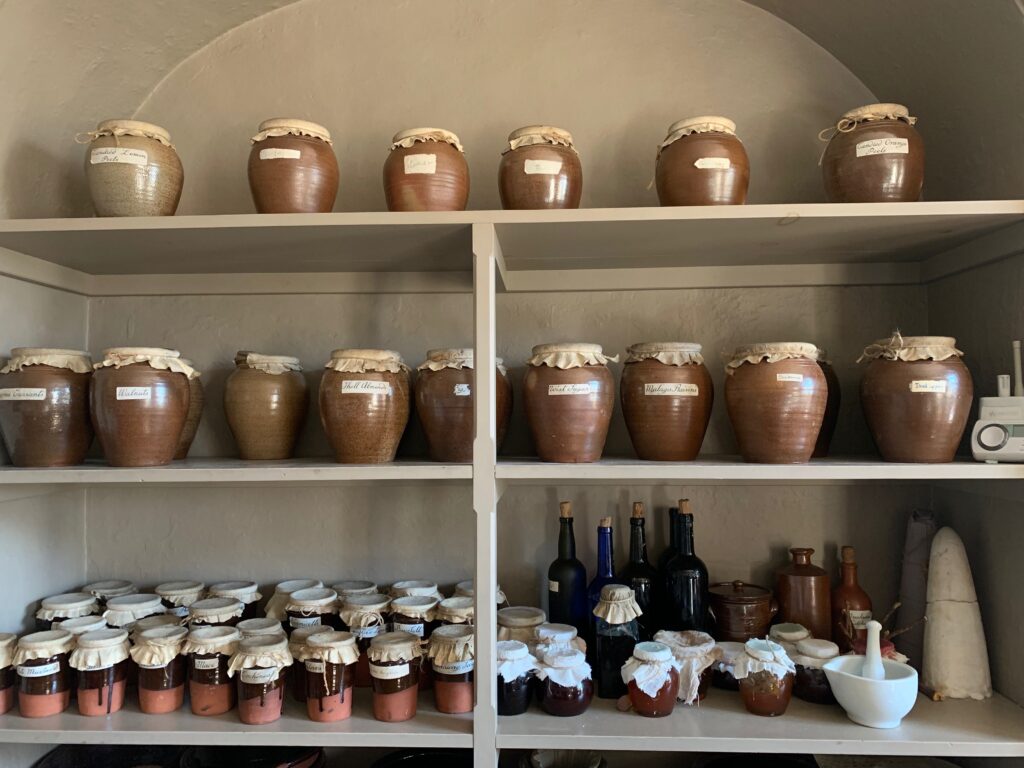
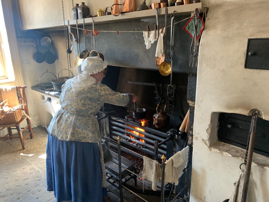
Right in front of the brewery, Cockermouth Castle is rarely accessible to the public. It is privately owned and opened only during festivals. However the Caste is mainly in ruins, better walk 300 m and visit William Wordsworth’s birth house. It not only is a beautiful example of a XVIII century house, but also perfectly preserved with local volunteers reenacting as maids and cook.
Day 3 - Whinlatter Forest and Honister Pass
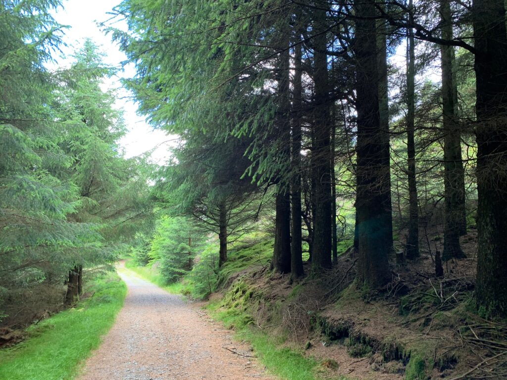
If your base is still Carlisle, drive 50 minutes towards Whinlatter forest. However, we suggest moving “base camp” to Keswick, much closer to the Forest. Whinlatter is home to stunning views, fantastic walks and exhilarating mountain biking, rare wildlife and adventure play. The Visitor Center opens at 10, and since your trek will start from here we suggest arriving at 10 am sharp so as to beat the crowd. The trek we did is an 11 km hike that will take you through differentent landscapes and will allow you to enjoy the Forest at its best.
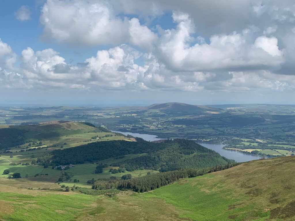
Start from the Visitor Center, just out of it follow the green sign for the Heavy Side trail that you will follow through signposts 2,3 and 53. Heavy Side trail is one of contrasts. The beginning takes you through some of the mighty oaks adjacent to Masmill Beck. The trail then climbs through an area of coniferous trees which border the forest boundary along Heavy Sides where the views of Skiddaw and Bassenthwaite Lake awaits you.
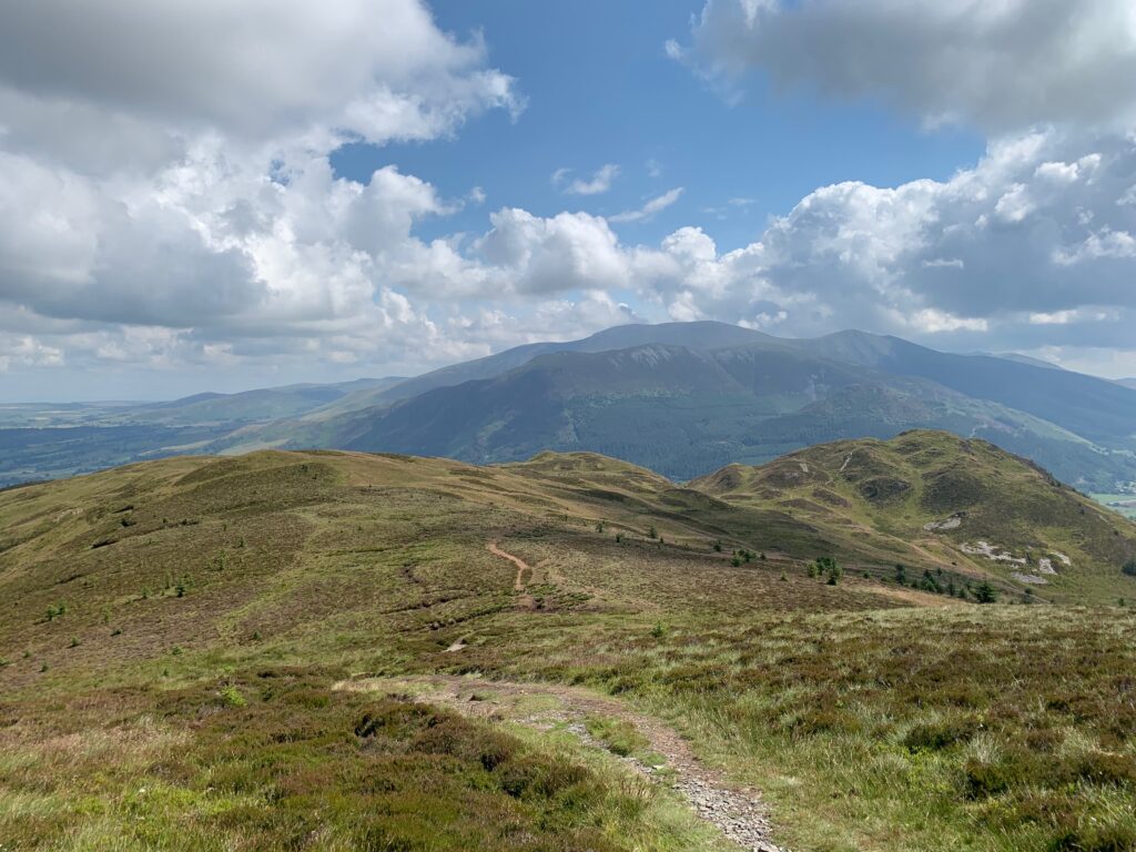
Here at sign post 53 make a left and leave the forest behind to start climbing to 500 m through heather moorland the side of Lord’s Seat. From it’s top you enjoy the breathtaking views of Lake Bassenthwaite, then follow a small and hidden path that will lead you down the side and up to The Barf. A steep descent will take you back to signpost 21, tha you will follow to 7 and 8 to rejoin the Heavy Side Trail (54). Here the road is wide, keep following it until you see a blue sign on your left going down a hidden forest path.
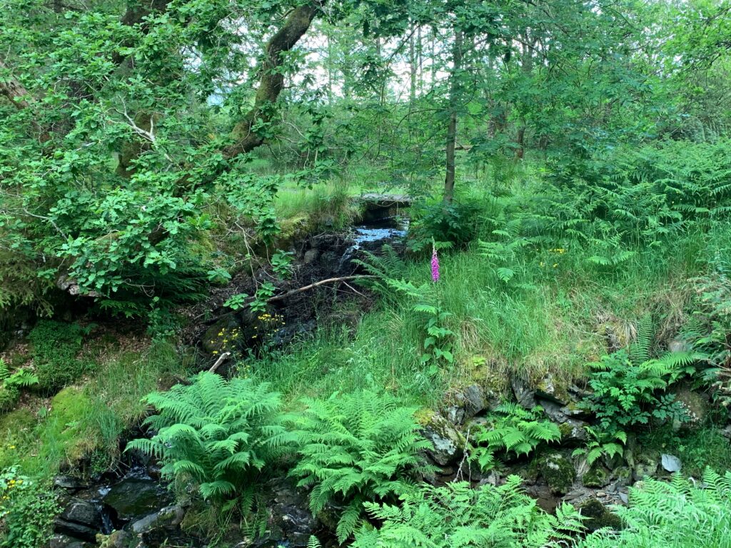
This is Comb Back trail that winds through through glades, beside streams and landscape features. As the trail follows Comb Gill, keep a look out for the disused dam, which once provided a source of power for the mines deep in the mountain below.

Coming back to the Visitor Center, replenish your energies with a nice lunch at the Cafe. And before leaving the car park, do not forget to pay, just by entering the plate number of your ride.
A 20 minutes drive will take you to Honister Pass, that has lots of adventures to ovver, such as “La via ferrata” if you really seek an adrenaline rush. We decided that it was worth enjoying the panorama around and visiting the last working slate mine of Englad. For those of you not familiar with slate, it is quite an expensive material that constitutes the skeleton of the rooftop of famous buildings such as Buckingham Palace and Saint Paul’s cathedral
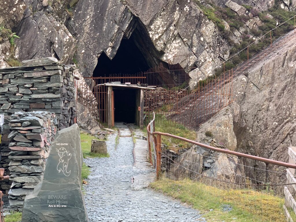
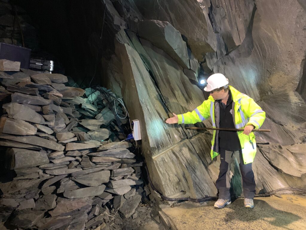
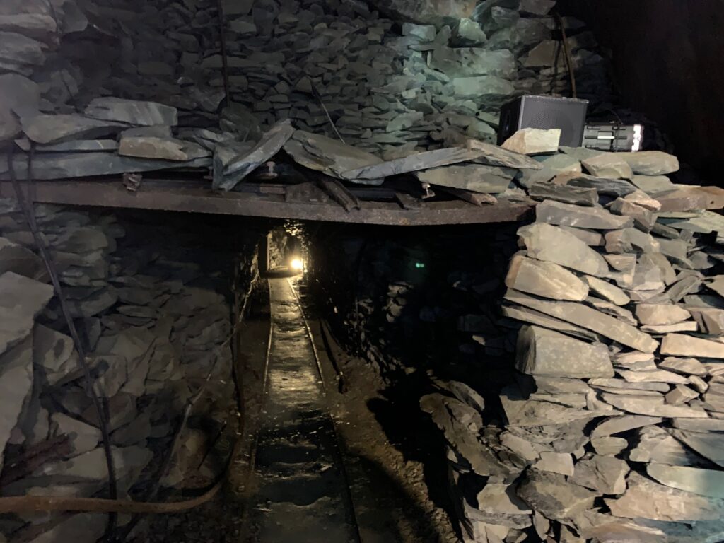
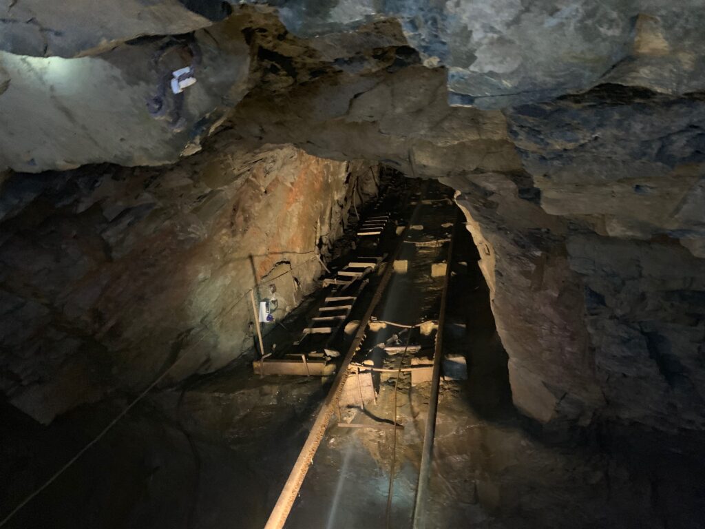
Apart from the geological beauty of visiting the mine (zero for me, apparently this is the only volcanic slate in the world..), what is fascinating is having a real miner as the tour guide. And feeling the passion and the love of a Cumberland man for this local craft, and for the man who saved it, Mark Weis. When the mine closed in 1989, Mark mortgaged most of his possessions to buy it, to restore it as the principal mean of income for the region and as a touristic attraction. We owe to him the tour mine, the “via ferrata” and the fact that the best slate in the world is once again being produced. While he unfortunately was killed in a helicopter accident in 2011, he could not witness what the mine has now become: something unique that everyone visiting this area should enjoy.
We stayed at Borrowdale Gates Hotel, just 10 minutes by car from Keswick.
For a nigh of entertainment and culture, if you still have the energies, why not getting a couple of tickets for the famous Theatre By The Lake in Keswick? We watched “Ladykillers”, incredibly amusing and funny.
Day 4 - Keswick and Grasmere
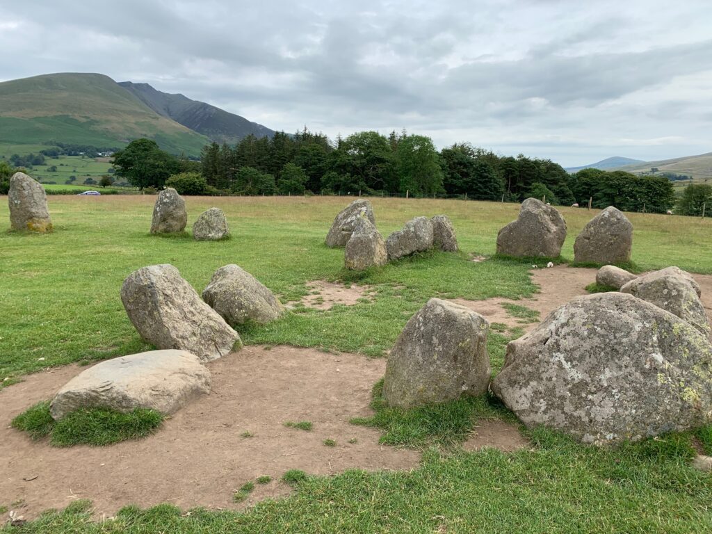
From the little village of Borrowdale where we slept, Kenswick is just a 20 minutes drive. Start by visiting the stone circle of Castlerigg, east of the town. Certainly not as impressive as Stoneange, it is however impressive to think that those stones were laid there more than 2500 years ago. Not a lot is known about their function: the most credited hypothesis is that they represented a gathering location of cult or assembly. The visit here will not take too long, so jump back in your car and head towards Derwet Water Marina in Kenswick. Her eyou may hire a paddle, a kayak, a pedalo or better a row boat (like we did) and explore the lake with its plush islands. The rent is 18 pounds for 1 hour and 28 for 2 hours, we did the whole lake in 2 hours keeping a good pace.
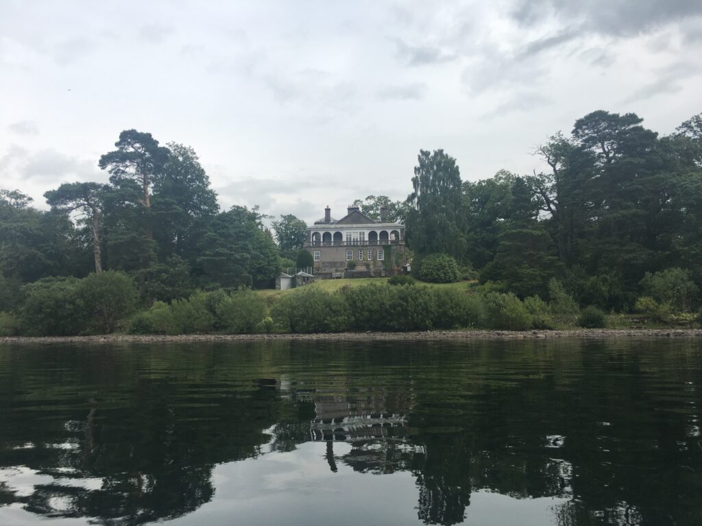
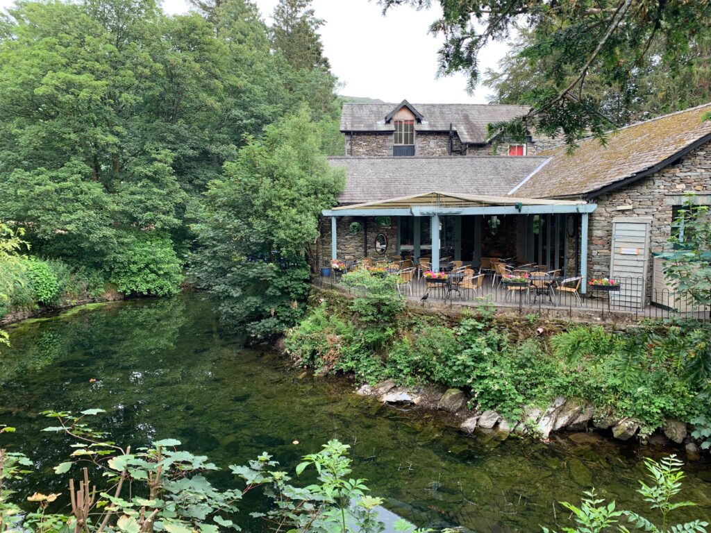
Even if the rowing has built you an appetite, grab the car and drive 20 minutes to the lovely village of Grasmere. It cerainly deserves a visit for various reasons: beautiful to walk around, good tea houses to have a bite, and the village that stole Wordsworth’s heart. Now, we already learnt that he was born on Cockermouth and there he lived the years of his youth, but in Dove Cottage in Grasmere he spent his most productive years. And in the church of Saint Oswald he is buried. After lunch stop by the church cemetery to visit his tomb and the tombs of the family, then stroll around the small cottages of grey stones of Grasmere. Dove Cottage is just outside the village: when we visited it was closed for renovations but in 2020 it will open again. The last years of Wordsworth’s life were spent in the small villa of Rydal Mount that certainly deserves a stop: and what better excuse that to reach it through a hike?
William Wordsworth, known as much for his love of walking as for his poetry, described Rydal Water as “the loveliest spot that man hath ever found”. In his Guidebook to the Lakes he also suggested the best way to appreciate it is by ‘a foot-road passing behind Rydal Mount and under Nab Scar…very favourable to views of the lake and the vale…The horse road…under Loughrigg Fell, does justice to the beauties of this small mere, of which the traveller who keeps the high road is not at all aware.’
This 6 km trail takes the route Wordsworth suggested. But this landscape has more to show us than just ‘favourable views’. From rocks to reservoirs, burbling becks to bearing the dead, we’ll uncover the stories behind the place that Wordsworth called home.
Start from White Moss common car park off A591 between Rydal and Grasmere (1) and take the path uphill into White moss forest that lies between the lake of Rydal and Grasmere. Continue till the trails bends left and out of the trees (6), and walk it for the whole lenght, keeping Rydal lake to your left: only in the last part you will walk next to the lake. Keep following the paved road after the lake ends and take a left to a small bridge (5) to come back to A591 at the level of The Badger Pub. Here a steep road to your right will take you to Rydal Mount where you can rest for a visit and a coffee.
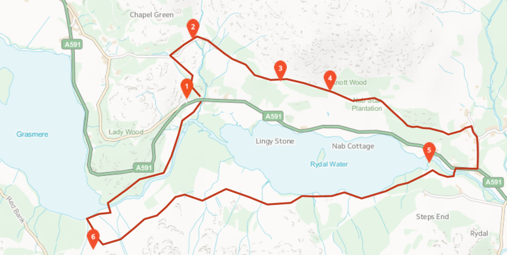
When you have admired the original furnitures, continue uphill till a trail on your left. Take it and walk trough caves and quarries for the whole length of the lake. At the end of the lake you will start hearing the sounds of traffic on A591 again (2): multiple small trails in the trees will bend on your left to take you back to the car park.
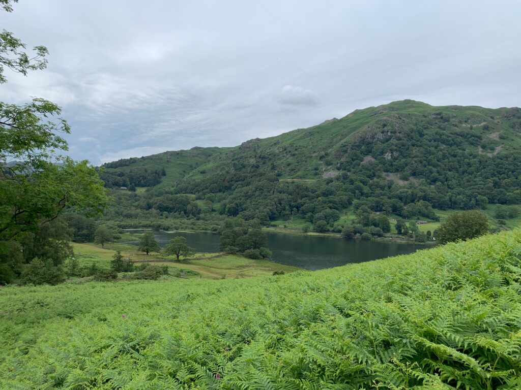
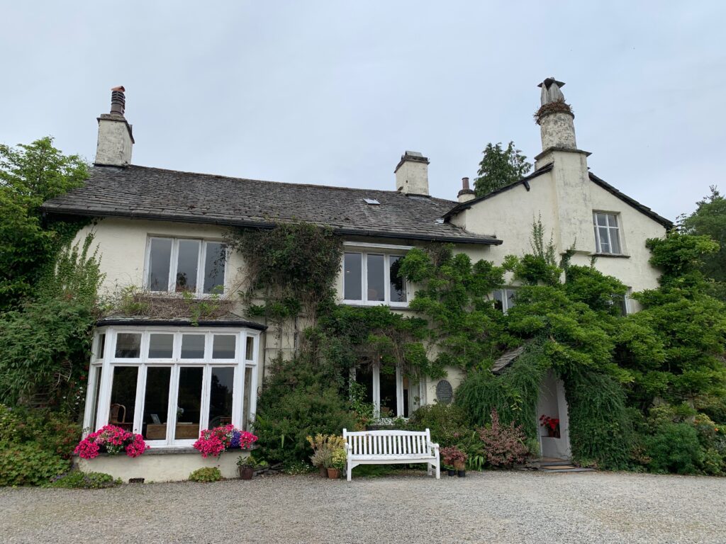
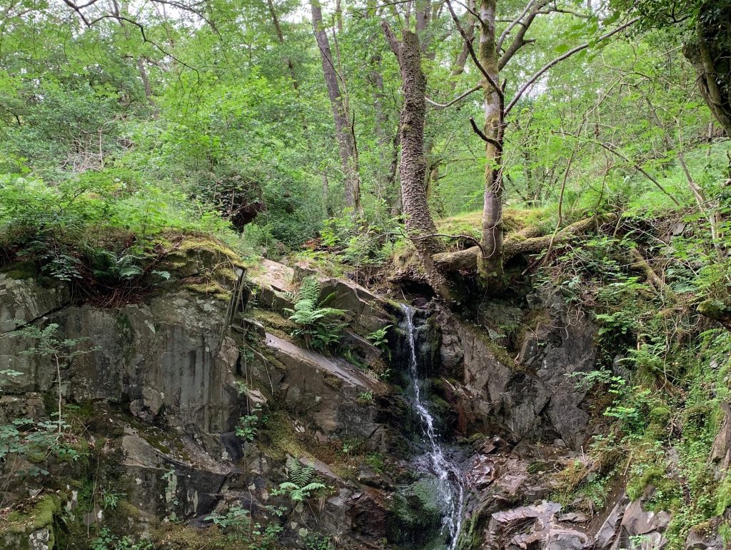
After a long deserved shower, we had an amazing dinner at Fellpack. Fellpack was born from the efforts of a bunch of guys )and gals) who love trekking and climbing. Its initial heart was inside a pub, where these friends got the idea of starting their own restaurant with a hiking theme. The result is a cozy restaurant with great beer selection and cocktails, and good and hearty food, served in their own hand made pottery dishes.
Day 5 - Helvellyn and Ambleside
At first glance the western side of the Helvellyn range may seem a little dull. They display slopes of a fairly uniform nature which when compared with the likes of Striding Edge and Swirral Edge on the other, eastern side, certainly lack that immediate, ‘in your face’ drama. Helvellyn though is a big mountain and the two sides of it are an integral part of why it is such a popular mountain. If you are into a total scrambling experience then there is nothing wrong with doing the edges. If on the other hand you want to savour the fantastic view down on to the edges from the summit, and if you just want to walk to get it rather than scramble then there is no finer way of doing it than approaching up the well-graded paths from the Thirlmere side.
The three highest peaks of the main ridge can quite comfortably be done by climbing the zig-zags of the Helvellyn Gill Path to Helvellyn’s summit. Then descending to Grisedale Tarn taking in Nethermost Pike and Dollywaggon Pike along the way. The best way back is down by Raise Beck, which is a little confined but soon leads down to Dunmail Raise from where you can make use of the permissive path to get back to the start.
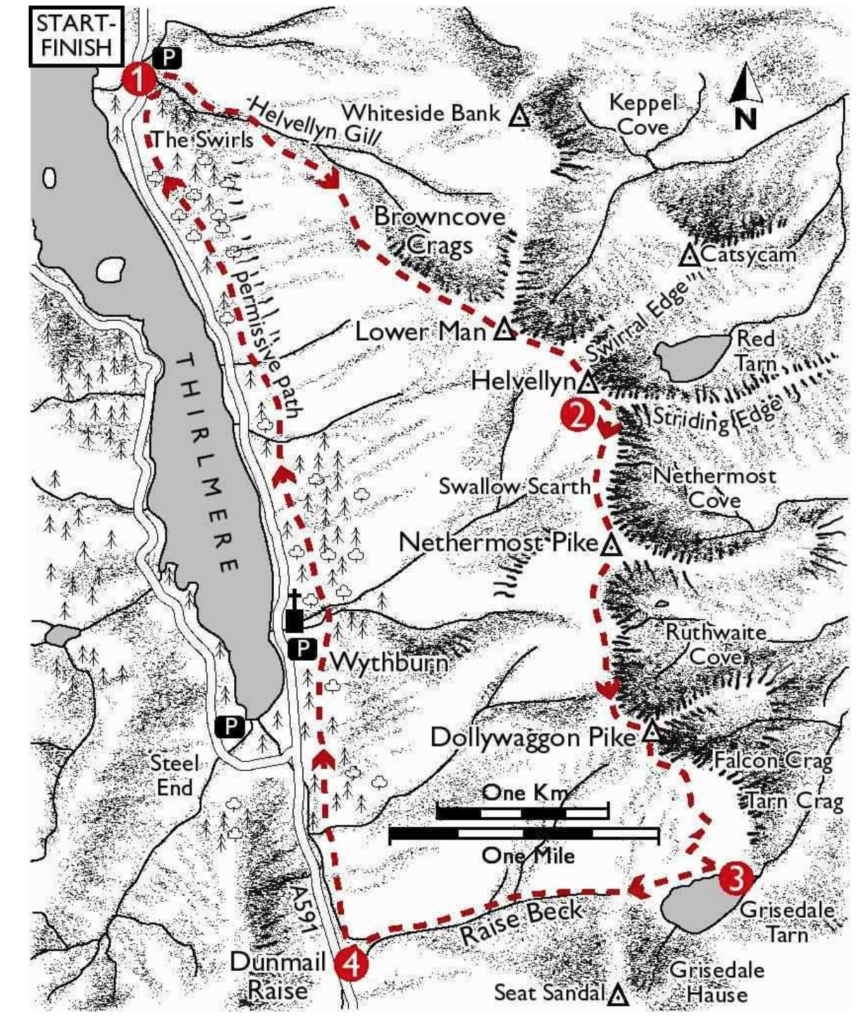
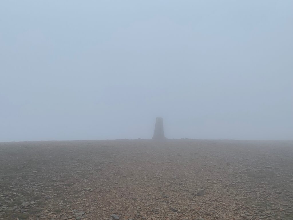
Drive and park to the Swirls Car Park. Cross the footbridge over Helvellyn Gill at the back of the car park then follow the path South East alongside the gill to another footbridge. Cross the footbridge, then climb the steep zig-zags to a wall. Through the gate continue climbing to the remains of another wall. From here the path ascends the steep scree-covered shoulder South East directly to Helvellyn’s summit. It is quite a strenuous hike, 2 km with an ascent of 880 m. And it feels more like climbing stairs instead of walking, with all those stones along the path. At 925 m of altitute you will walk by the side of Lower Man and finally reach the summit of the Helvellyn.
From the summit of Helvellyn follow the main ridge path South. It is called Coast to Coast Walk, slightly easier but you will miss some beautiful peaks. The Walk forks at Swallow Scarth, take the left branch and follow it South, reaching the summit of Nethermost Pike, High Crag and finally to Dollywaggon Pike. From Dollywaggon Pike the path turns South East and reconnects to the Coast to Coast Walk. Continue along it and descend the steep zig-zags to Grisedale Tarn (small lake).
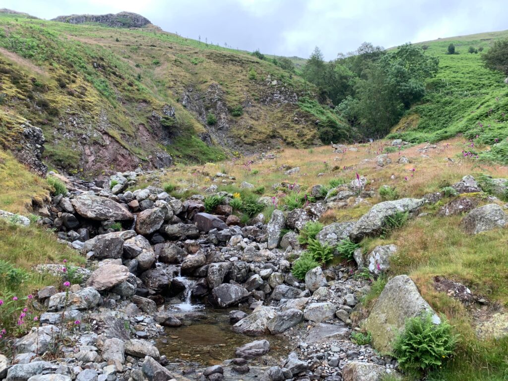
At the tarn turn West and follow the path across the low col to the head of Raise Beck. Now, this sound easy but you will have to find your own path till the head of the river, walking in mud and peat. Join the path on the South side of Raise Beck and follow it down towards Dunmail Raise. The path by the side of the river is mostly made of wet stones, so the downhill walk may be a bit tricky and slow.
At the end of the river you will start hearing the sound of cars and you will see the read. Just before the road turn right and follow the Permissive Path North to the footbridge over Birkside Beck. Cross the bridge and continue North along the path as it traverses the mountainside into the forestry plantations. This may as well be the most boring part of the walk, since the path is well paved and the nature all around is not super exciting. The path is followed North for just over 4km back to the car park
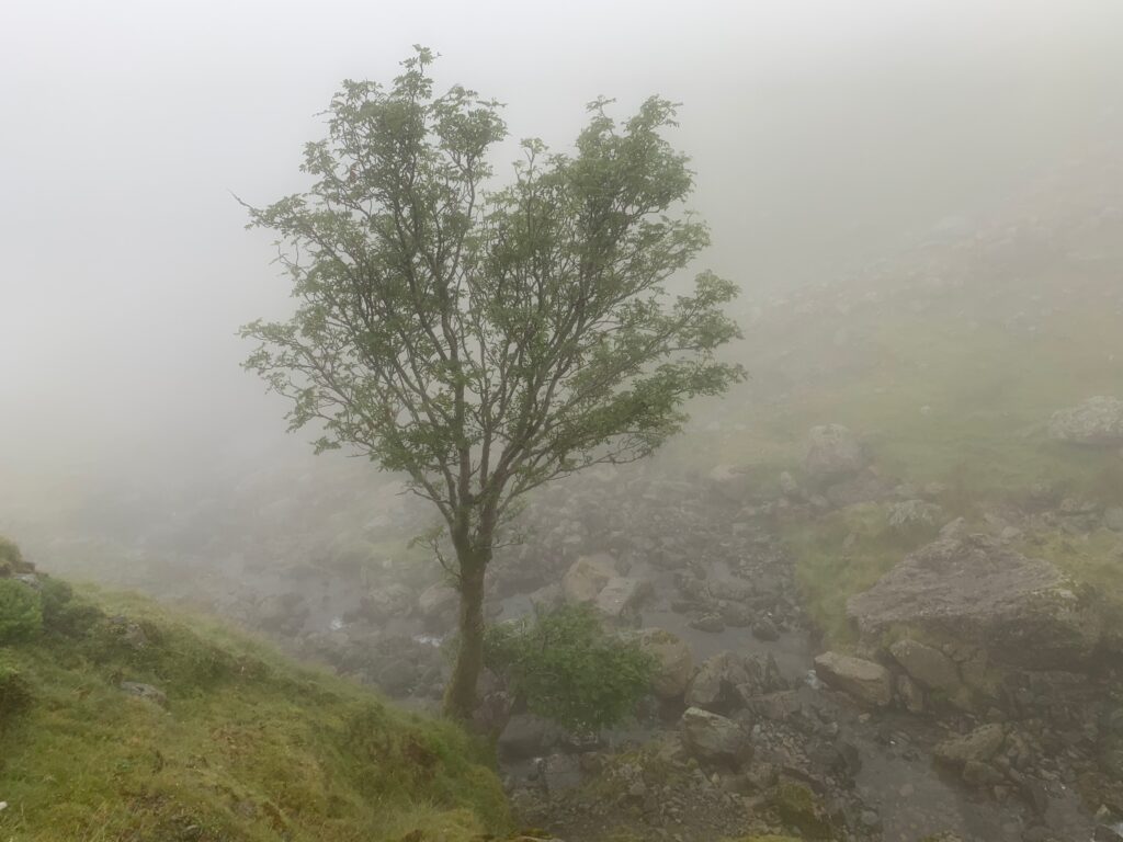
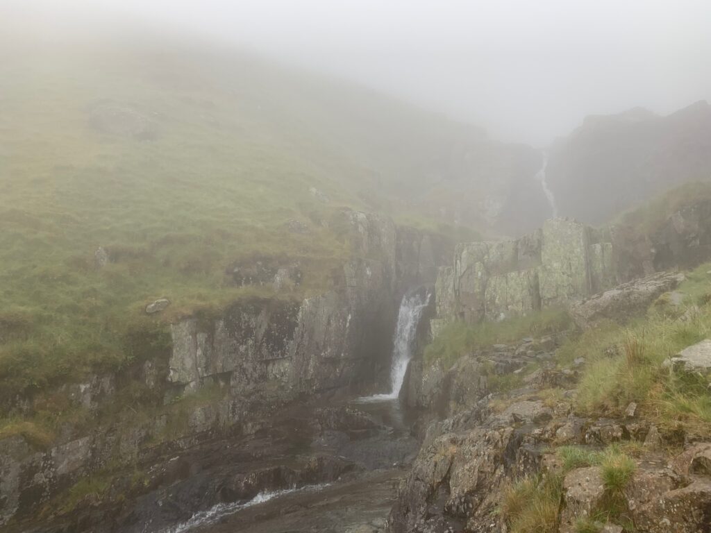
The whole loop is roun 15 km and took us 5 hours to complete, mainly because of the weather conditions.
Now, back in the car, drive 15 minutes to the little village of Ambleside. It is literally in the heart of the Lake District National Park, a small town loved by trekkers and walkers. Just so we do not loose sight of our friend Wordsworth, it was in Ambleside that he found his first job as a stamp distributor. On travel guides Ambleside is well known for the glass blowing shops and the small Bridge House (in the photo) were a family of 8 used to live. However, the glass blowing shops have now been replaced by shops for outdoor equipment, more common in Ambleside than pubs. Stop here if you need a to buy new clothes, shoes or gear.
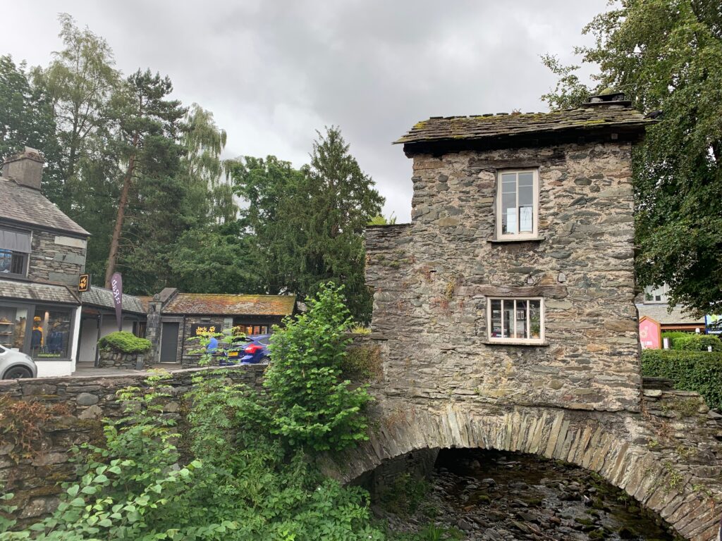
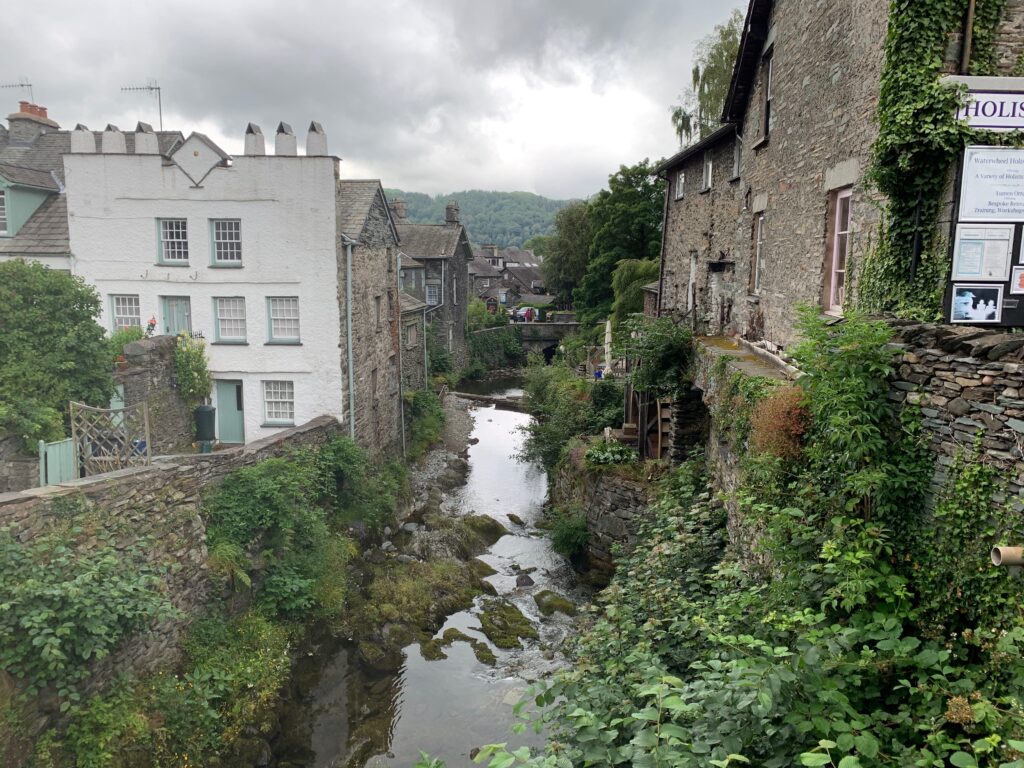
We spent the night at Belmount Hall and had dinner at the Queen’s head pub.
Day 6 - Hawkshead, Hill Top, Fell Foot Park and Haverthwaite
Take a break from hiking and exploring nature and dedicate this day like we did to get to know better some pf the “celebrities” of the Lake District.
First stop, Hawkshead, enchanting village with charming cottages and the Beatrix Potter Gallery, dedicated to the drawings of one of the most famous children’s books author. The house that hosts the Gallery was the office of solicitors WH Heelis & Son. Beatrix met William Heelis here as he helped her with land purchases in the region, and in 1913 they married. The upper floor hosts various original drawing of her books, that are showcased here only for one year before being replaced by new ones.
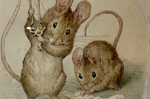
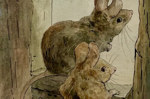
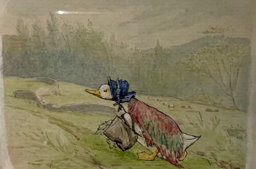
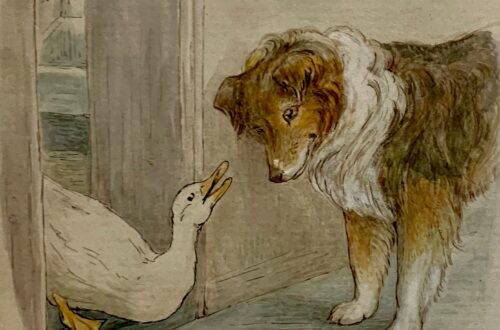


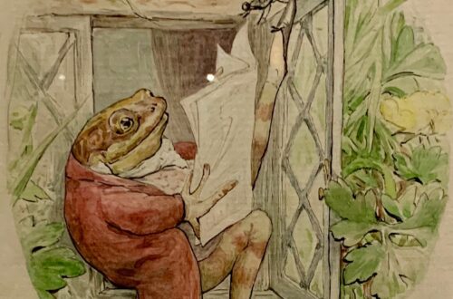
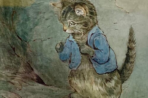
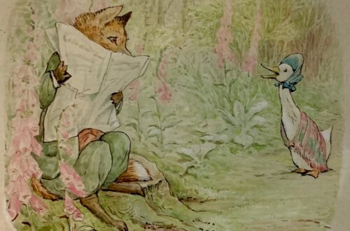
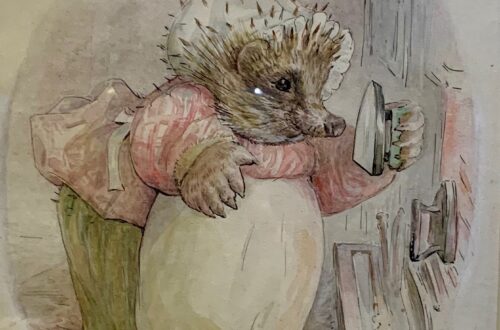
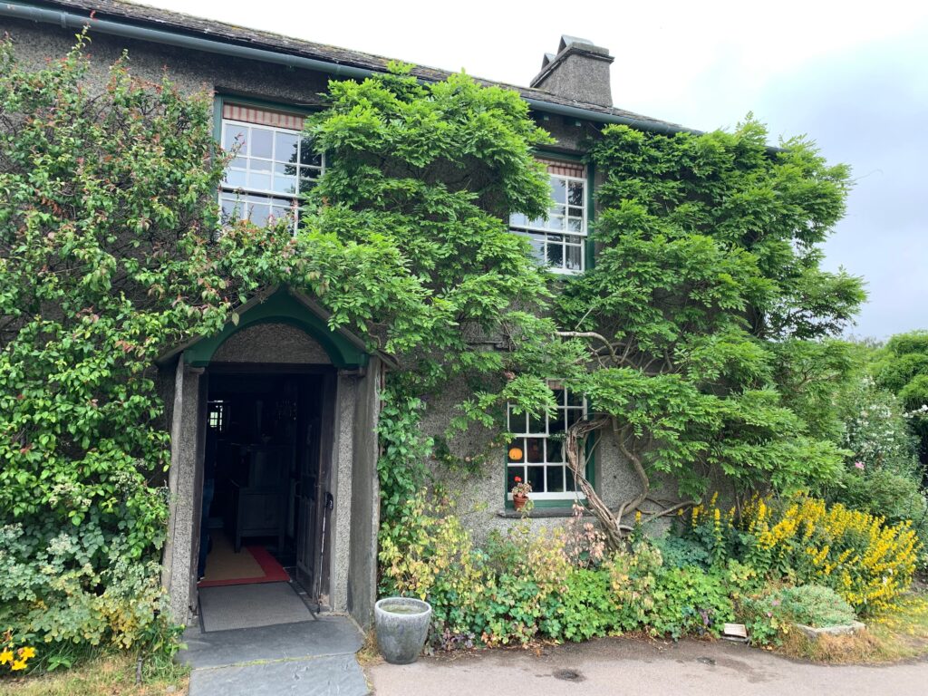
Just outside of the Gallery, stop by the Hawkshead Relish Company to purchase some artisanal jams, and rest for a cup of coffee at KITTchen, a cat bar next door. If you feel like a short walk, stroll down the path towards Esthwaite Water, the nearby private lake. We did not rent a boat or stop for fishing, but only spent some time to take pictures and admire the landscape. Jump back in your car for the next Beatrix Potter’s stop: Hill Top was the house that she purchased with the money earned from the selling of her first book Peter Rabbit. It’s a XVII century farm with a beautiful garden of flowers, plants and vegetables which is still kept as Beatrix wanted. While roaming the rooms, her readers will recognize objects and corners that populated some of her stories like the Tailor of Glouchester and The story of Samuel Whiskers.
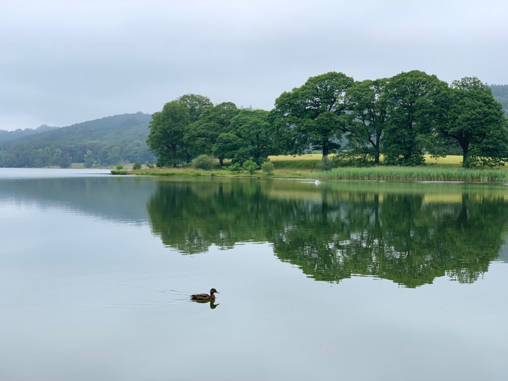
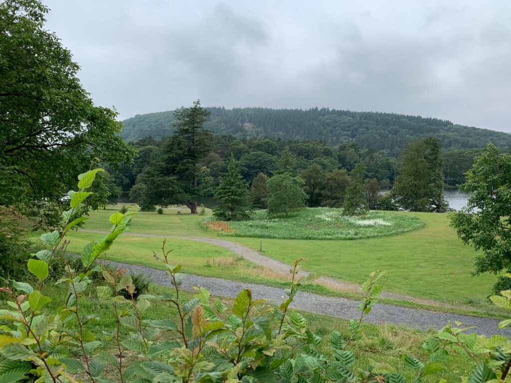
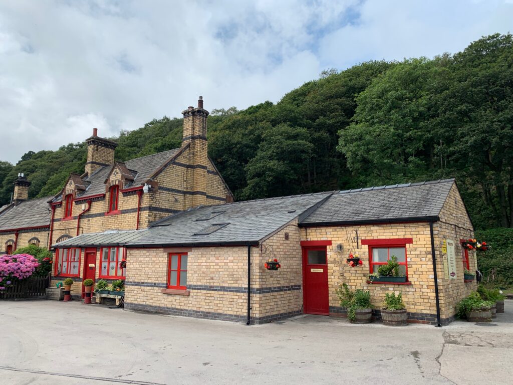
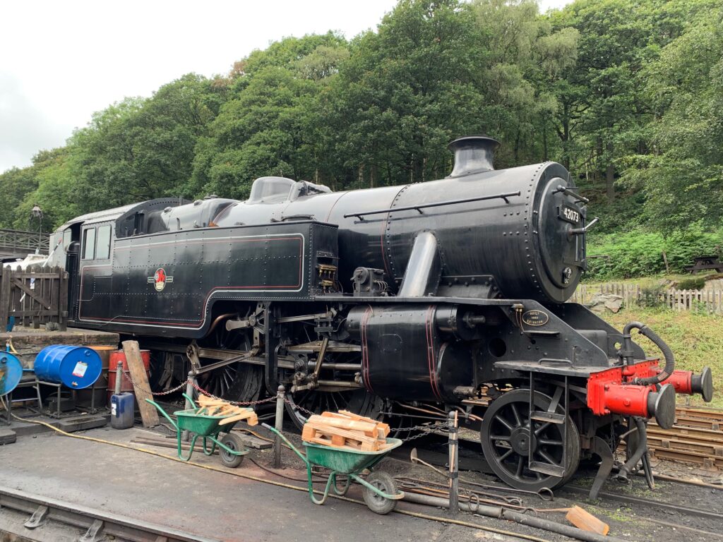
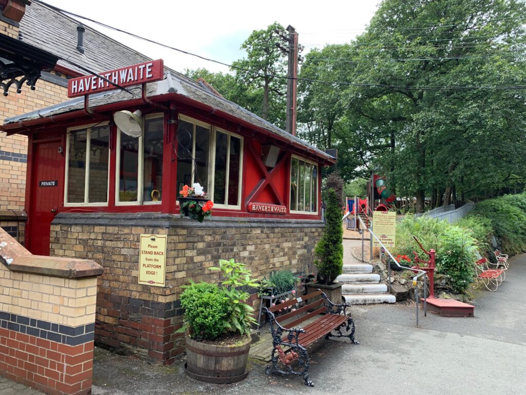
A 15 minutes drive will take you to Fell Foot Park, a victorian garden with wide meadows on the south shore of the Windermere lake. We grabbed a quick bite at the bar in front of the lake, before taing the ferry to the other side of the lake, landing at Lakeside. From Lakeside station, grab the historical train towards Haverthwaite, last stop of the day. The only reason to visit Haverthwaite is the Haverthwaite & Lakeside Railway. The station is on the A590. Once it was used to transport goods for the ferries in Windermere, but now thanks to train lovers it runs between Haverthwaite and Lakeside, along the Leven river. Take some time to admire the 1950s trains and locomotives.
Day 7 - Grizdale Forest Park and Brantwood
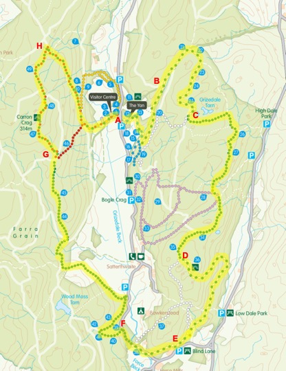
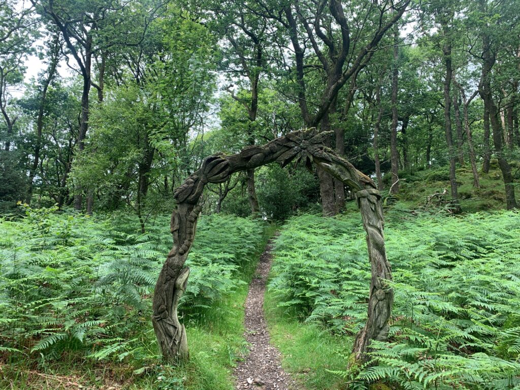
The Silurian Trail is named after the geological time period in which the forests characteristic grey slate and shale rocks were formed. It is the ultimate walk, a 19 km trail that takes you down one side of the Grizedale valley and back up the other, passing many of the sculptures along the way, as well as some of the best views in the forest. It includes the summit of Carron Crag, the highest point in the forest.
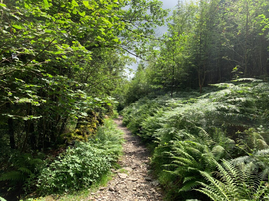
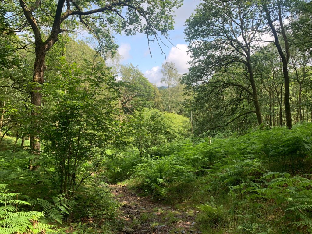
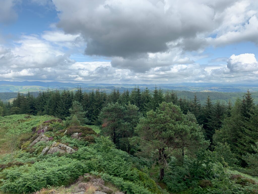
Start from the parking lot (A), get the trail between the pointy building and the parkings. The first km climbs into a conifer tree, then separates from the white trail (B) and transforms into a gravel trail that slowly climbs for 3-4 km. This part can be slightly boring but soon (C) the trail dives into the forest in a steep rock-bottom walk that can be quite challenging. After a couple of kms the trail opens up (D) and the walk becomes more pleasant. Once you reach the parking lot (E), the trail connects with the local road and you will coast a couple of farms before turning left near the Force Back stream: take the white and green trail (F) until it separates. From that point on the green trail climbs, gently at first along the fields then more steeply inside the forest to the base of the Carrion Craig (G). The ascent of the Craig is not particularly challenging at it will reward you with a breathtaking view on the valley. The last portion of the trail (H) cuts through the forest and takes you back to the visitor center.
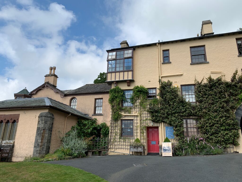
After a good lunch at the Grizdale Cafe, a 10 minutes car ride will take you to Brantwood and John Ruskin’s house. Ruskin was a poet, a writer, an art critic, but most importantly he was a thinker. The first “socialist” in the english history, despite being born in a rich family he understood the horrible conditions of the working class and theorized minimum wages, a social security and free education for everyone. The house is a beautiful example of a Victorian residence, kept exactly as it was, and the acres of gardens (seven) around make a nice exploration (even if non great on the legs after 19 km). Some gossip about Ruskin’s impotence, his marriage annulment and love for a girl 25 years younger than him can be learnt in the drawing room…
Day 8 - Coniston
We spent the nigh in Coniston, it is an enchanting little village with what we believe is the most beautiful of the lakes of the National Park. Also, it is dominated by the Old Man of Coniston, the last peak of hour trekking vacation. The walk that we planned to conquer it follows a circular route from a parking area on Walna Scar road, near Coniston in the Lake District. It sets off in a westerly direction along Walna Scar road itself, which is now a track, before turning northwards to start the real climbing over Brown Pike, Buck Pike and Dow Crag. The walk drops down to Goat’s Hawse before heading to the summit of the Old Man of Coniston, known by many as Coniston Old Man. From the summit there are excellent panoramic views of all surrounding hills and fells, from Black Combe around to the Pennines taking in the Scafell group to the North and as far as the Isle of Man to the West, along with Blind Tarn and Goat’s Water below. From the summit, the walk zig-zags down to Low Water before returning to the parking area through the remains of a bygone era in this part of the Lakes – copper mining.
Drive out of Coniston up the steep Walna Scar road. As the road ends, pass though a gate and park in the large unmetalled parking area – the walk starts from here. From the parking area, head away from the gate in a Westerly direction and through the wooden waymarkers, to continue along the now unsurfaced Walna Scar Road. Keep on the track as it gently rises through the bracken and ignore a track that shortly heads off to the right. The track then rises more steeply before levelling out again. Over to the left Coniston Water comes in to view and the further you walk first Brown Pike and then Buck Pike come in to view ahead. The track then reaches some steps, which lead up to Goat’s water. Ignore these and continue along the track. Cross over the bridge and keep on the track as it starts to climb around Brown Pike. The track starts to climb more steeply and become rougher underfoot, before passing a small shelter. Shortly after this, the crest of the hill is reached and ahead can be seen Harter Fell and Ulpha Fell. On the brow of the hill, by a small cairn and a wooden sign, turn right off Walna Scar road (track) and follow the well defined gravel footpath as it starts to ‘zig-zag’ its way up towards the summit of Brown Pike. Upon reaching the summit of Brown Pike, pass the cairn and keep on in the same direction along the ridge towards Buck Pike. Down below to the right is Blind tarn and up on the hillside opposite the summit of the Old Man of Coniston can now be seen. Upon reaching Buck Pike, pass the summit cairn and continue on in the same direction towards Dow Crag. As Dow Crag is reached, there are some photogenic views down the steep gulleys to the right looking down on to Goat’s Water. Head on up the final rocky section to Dow Crag summit. From the summit continue on in the same direction to start the short descent towards Goat’s Hawse.
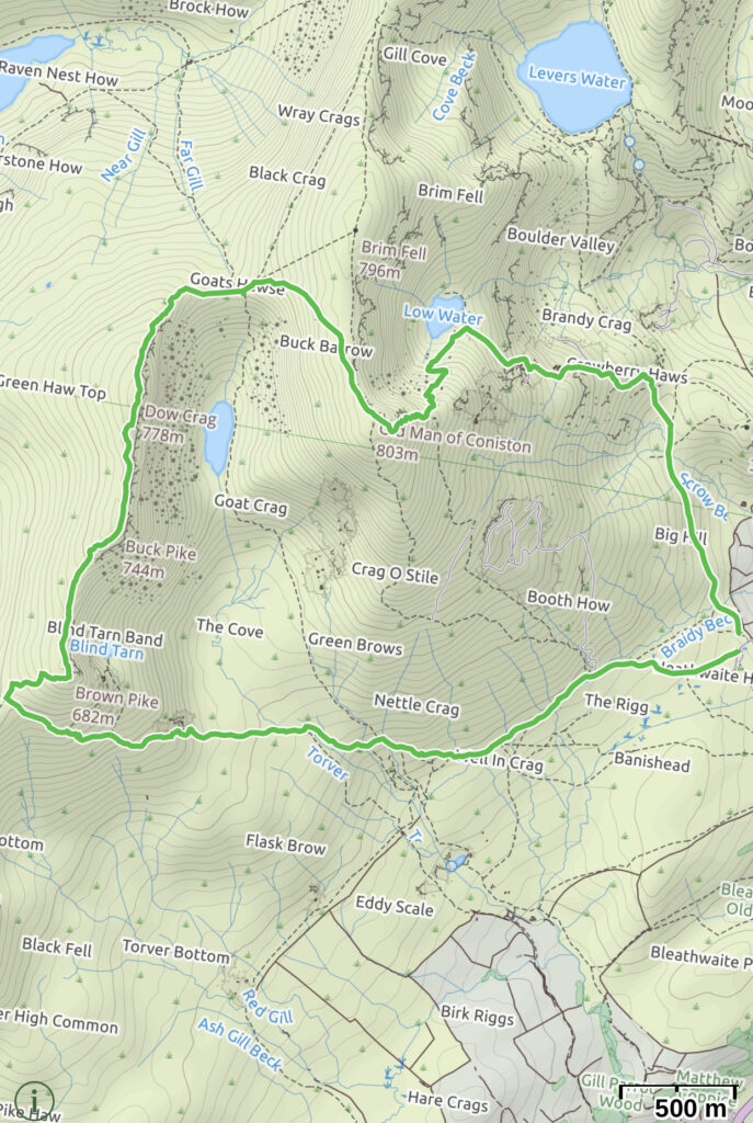
Across to the right, the path to be followed from Goat’s Hawse to the summit of the Old Man of Coniston can clearly be seen. Keep on the path past a cairn and head steadily down towards Goat’s Hawse. Once at Goat’s Hawse, start the climb up the hill ahead. There are two paths, but take the more distinct left hand one. Keep ascending along the wide stony path, passing many small and larger cairns along the way. About 700m on from Goat’s Hawse, the summit cairn comes in to view ahead. Down to the left now the path home can be seen ‘zig-zagging’ down towards Low Water. Continue on the final few metres to the summit cairn. Pass the summit cairn and continue on in the same direction. The path initially starts to gently descend with views of Coniston and Coniston Water straight ahead. The path then swings around to the left to start its steeper ‘zig-zag’ descent towards Low Water below. Keep on the path down to the side of Low Water. As the far end of Low Water is reached, the path splits with the left hand fork heading to the water’s edge. Ignore this and follow the path around to the right, away from the water. The stony path heads between rocky outcrops in the direction of Coniston Water. Shortly afterwards the first signs of disused quarries can be seen. The path passes by small heaps of slate / rocks and the remains of old quarry buildings. Keep to the main path as you descend by the buildings. Once through the mining area keep descending on the path in the general direction of Coniston Water. As the path swings around to the left, ahead now can be seen a path junction. Over to the right the car parking area can be seen. At the path junction, keep on the main path following it around to the right. The path, now on a much more gentle descent, winds its way through a few small rocky outcrops and then heads again in the general direction of Coniston Water. The car parking area soon comes back in to view ahead. Continue back along the path the final few metres to the car parking area.
